How measuring peat heaps lead to
innovation in geospatial data processing
EyeVi was founded by two guys who share a vision to bring digital transformation into the geospatial domain.
Our story started more than a decade ago...
He uses GPS for the first time to measure peat heaps. This novel approach for conducting measurements serves as the basis for EyeVi's measuring methodology.


During these projects, Sven meets Gaspar and for the first time in Regio’s history, navigational data is marked on a digital map.


“We got acquainted with the methods and processes of how road inventory was conducted and how data on road defects was gathered. We saw the importance of this task and all the shortcomings of the processes. We were driven to improve this situation, which led to the development of AI later on.”
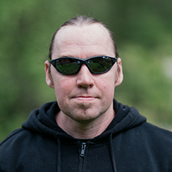
Gaspar Anton, CEO & Founder of EyeVi


“At that time, we had an idea but no know-how to put it into practice. The most challenging moment was showing our prototype to others who knew it wouldn’t work the way we initially planned. Of course, there were a lot of miscalculations because the cameras went out of sync within one day, but when we got the data right, the feeling was just exhilarating. So we just tried and tried again. Failing and failing until we succeeded!”
Riivo Kolka, Software Developer


Everything is done at the same time: data collection, development of the first version of Superscript to process the collected data, and creation of the application for the processed data. In addition, the digitalization method is further improved.
Against all odds, the new version of EyeVi’s solution is ready to be used!


“This was my second year on the team. Being the only GIS specialist at the time, I was afraid that processing data from four vehicles instead of one is going to be tough. But everything went smooth — I knew what I was doing and there were fewer data issues than when I started.”
Marta Olvet, GIS Specialist
.png)
“When we first started our collaboration with EyeVi, their goals seemed like something out of a science fiction novel. But as of today, quite a lot of these goals have been accomplished already.”
Andri Riid, Head of AI Team


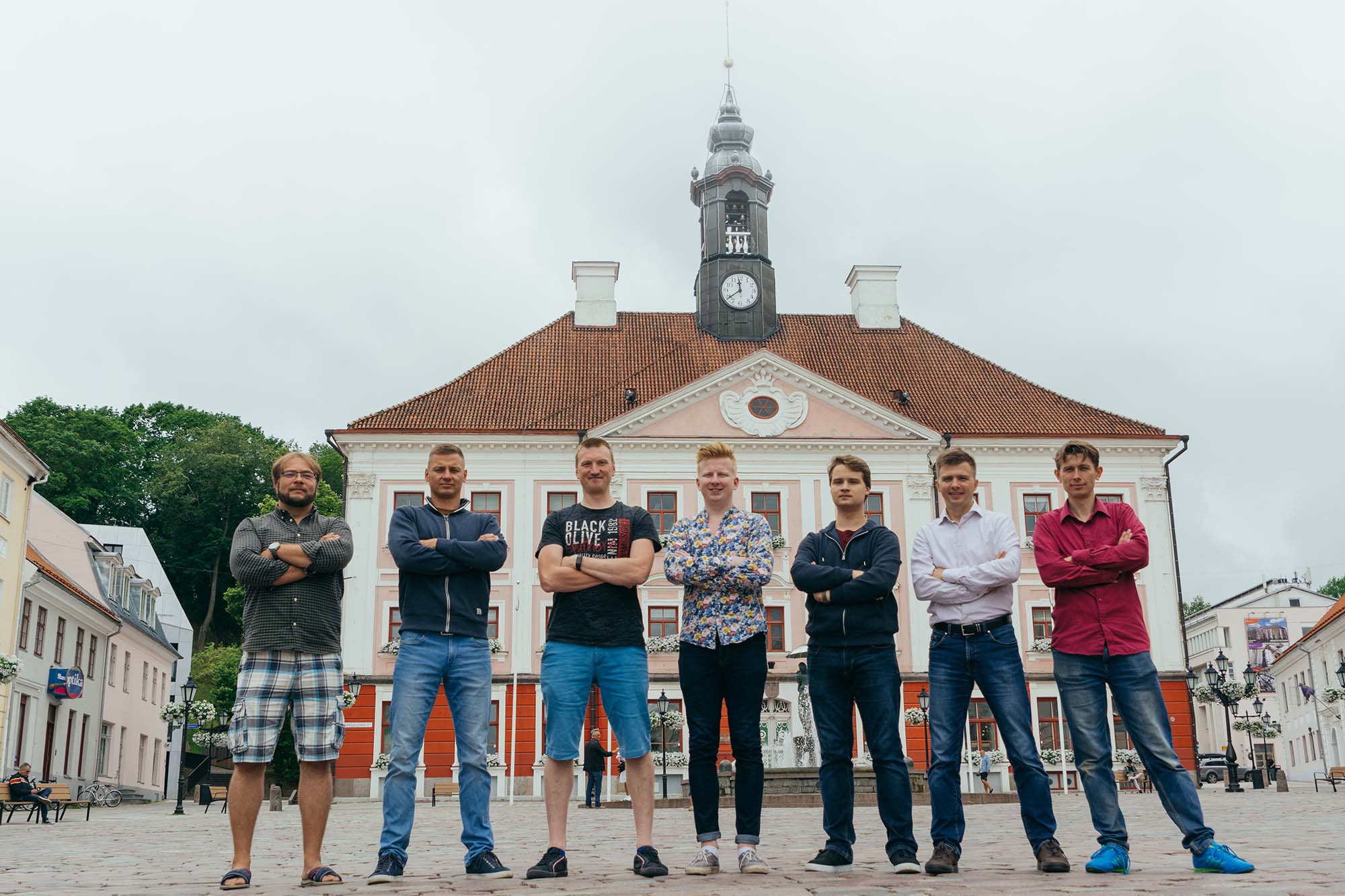
“Having an office and bringing the whole team together into one physical space — it lifted our spirits and created the feeling that we can conquer the world.”
Gaspar Anton, CEO & Founder of EyeVi


We are now one step closer to bringing forth the future that lies in automating the process of combining various data layers into one digital platform so that it would be possible to see how changes in traffic, weather, and different maintenance and constructions practices affect road quality.
